Stellar Books & Ephemera
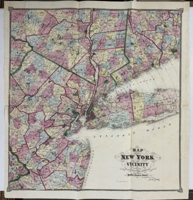
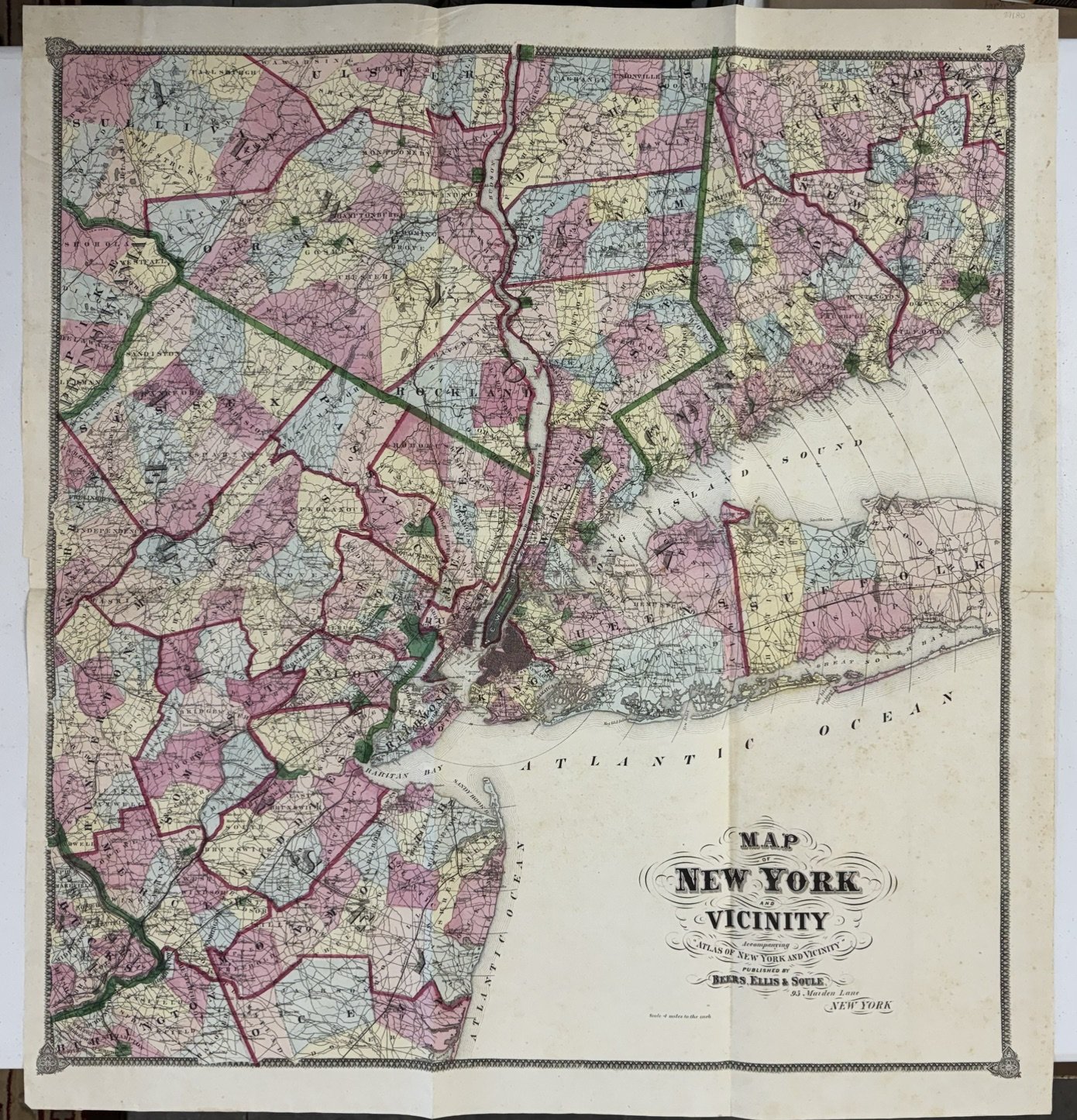
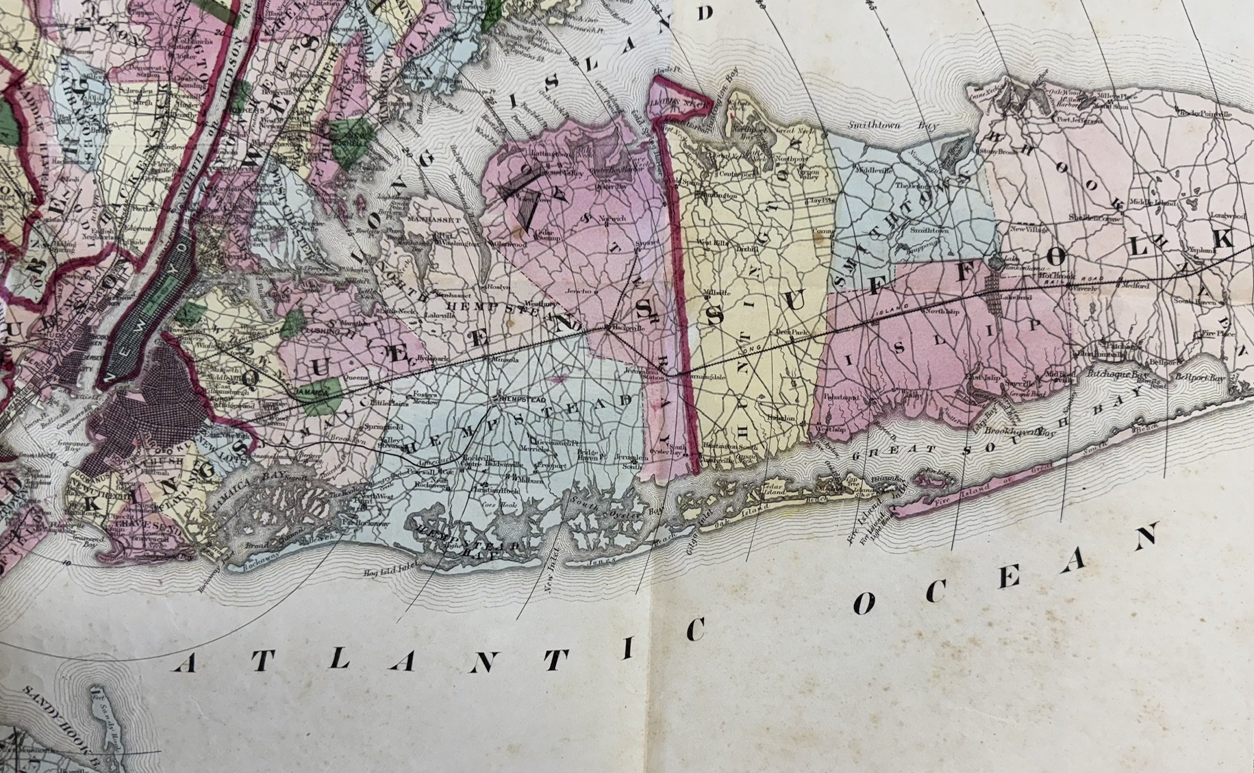
Map of New York and Vicinity
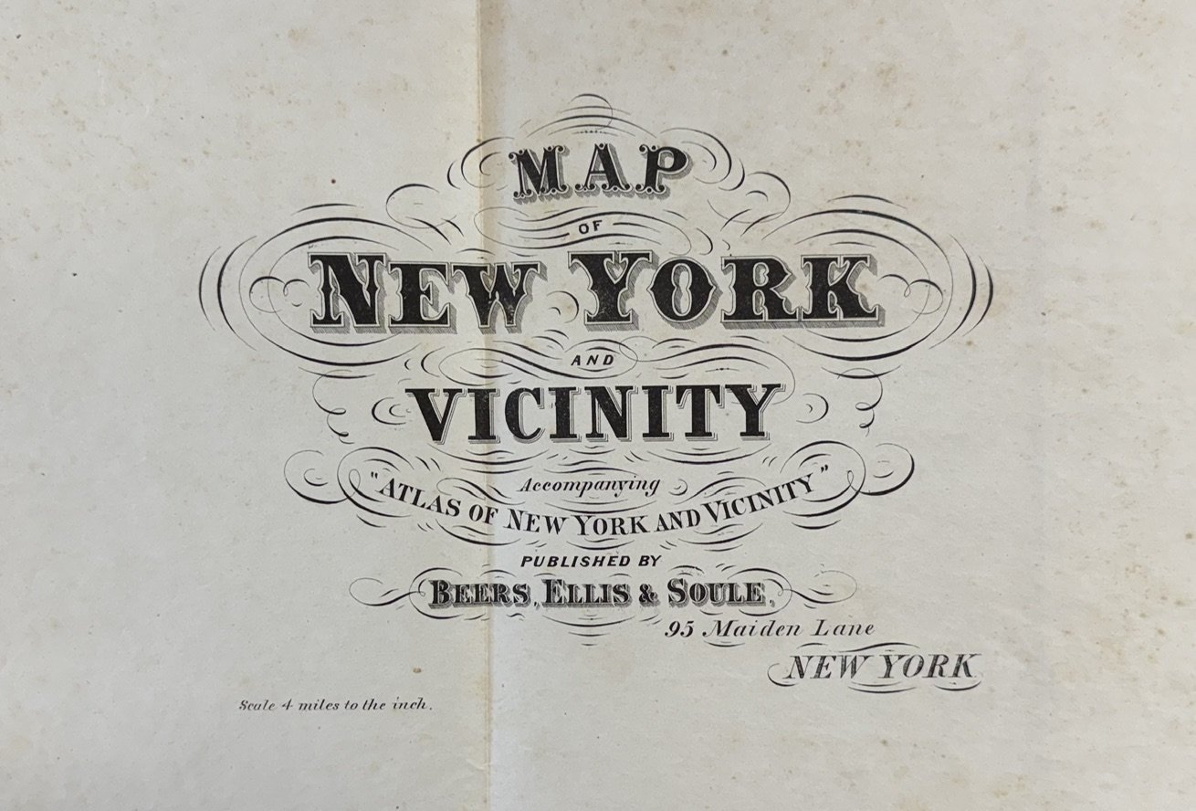
Accompanying Atlas of New York and Vicinity (full title--atlas not present, only this single map)
$225
Item Details
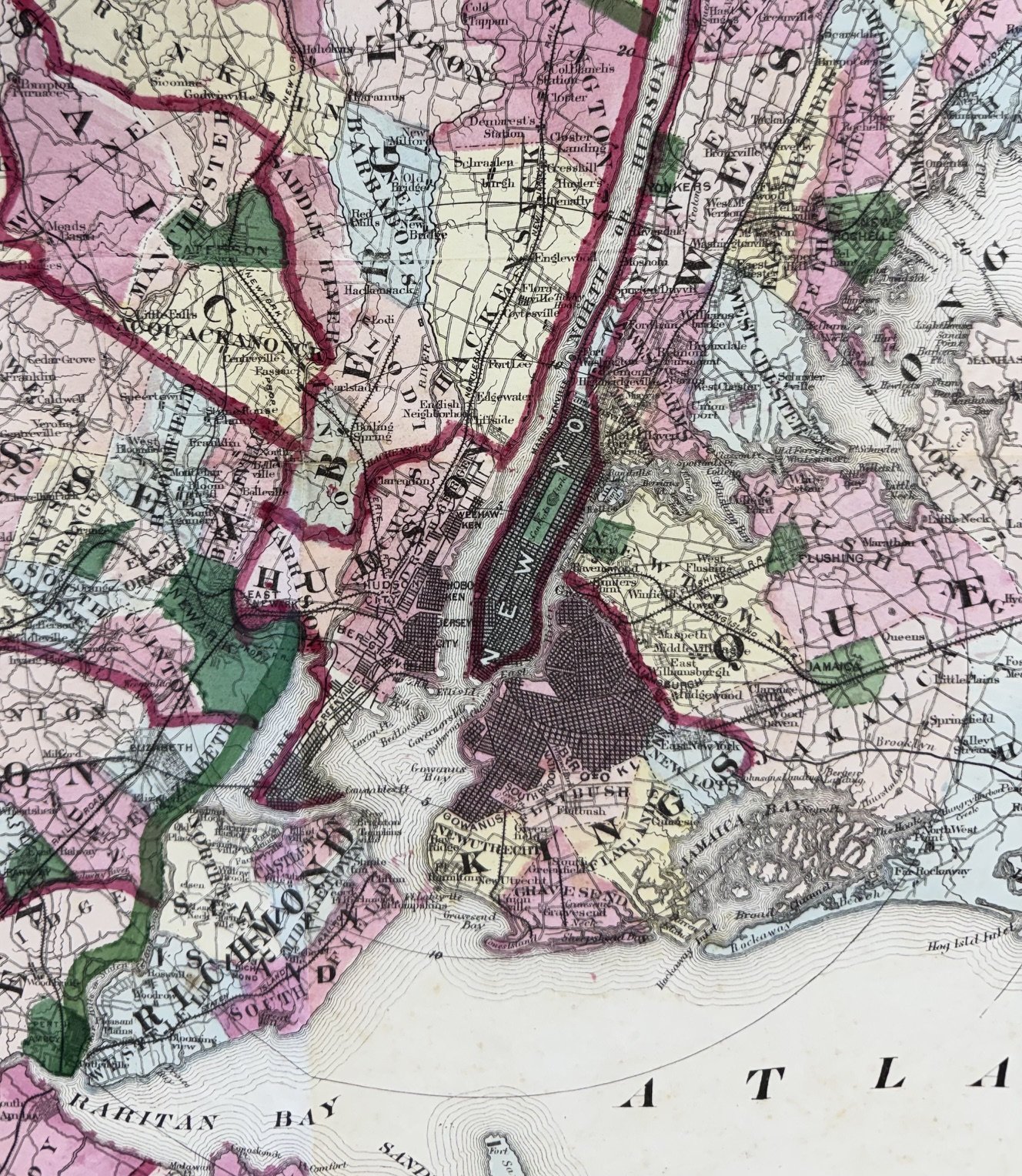
Map of New York and Vicinity--Accompanying Atlas of New York and Vicinity (full title--atlas not present, only this single map), Beers, Ellis & Soule, New York, New York, [1867], Hand-colored engraved map by Worley & Bracher, printed by James McGuigan, 30 3/4 x 28 1/2 inches.
Light foxing. Face of map presents very well. On closer inspection there are several archival repairs on the verso including about a 10-inch repaired tear plus reinforcement at several folds. Unless the back is inspected or held to light, one would be hard-pressed to see the repairs. Previously folded with evidence of one errant fold. See scans. Good condition.
Map shows New York City at the epicenter. Includes Queens and Suffolk Counties of Long Island, plus northern New Jersey into small portions of eastern Pennsylvania. The northernmost New York counties shown are sections of Sullivan, Ulster and Dutchess Counties, plus Litchfield and Hartford Counties of Connecticut. Pleasing hand coloration. As 'they' say: suitable for framing.
Stellar Books & Ephemera

Andy Nettell
20 Business Park Loop #864
Carlsborg, WA, 98324
United States
Phone: 435-260-8596
Cell: 435-260-8596
Visit Website
Specialities
Ephemera, Manuscripts, Letters, OOAK
.jpg)
More Information
Booth 24
Shipping and Returns
All items guaranteed and returnable within 30 days for any reason. Reciprocal dealer discounts offered plus extended dating for institutions. We accept checks, credit cards, PayPal and Zelle.
Open Times
10 am to 10 pmAdditional Information
We buy collections or single items. Always looking for quality Americana.