Stellar Books & Ephemera
Russell, J.
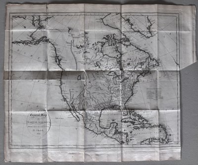
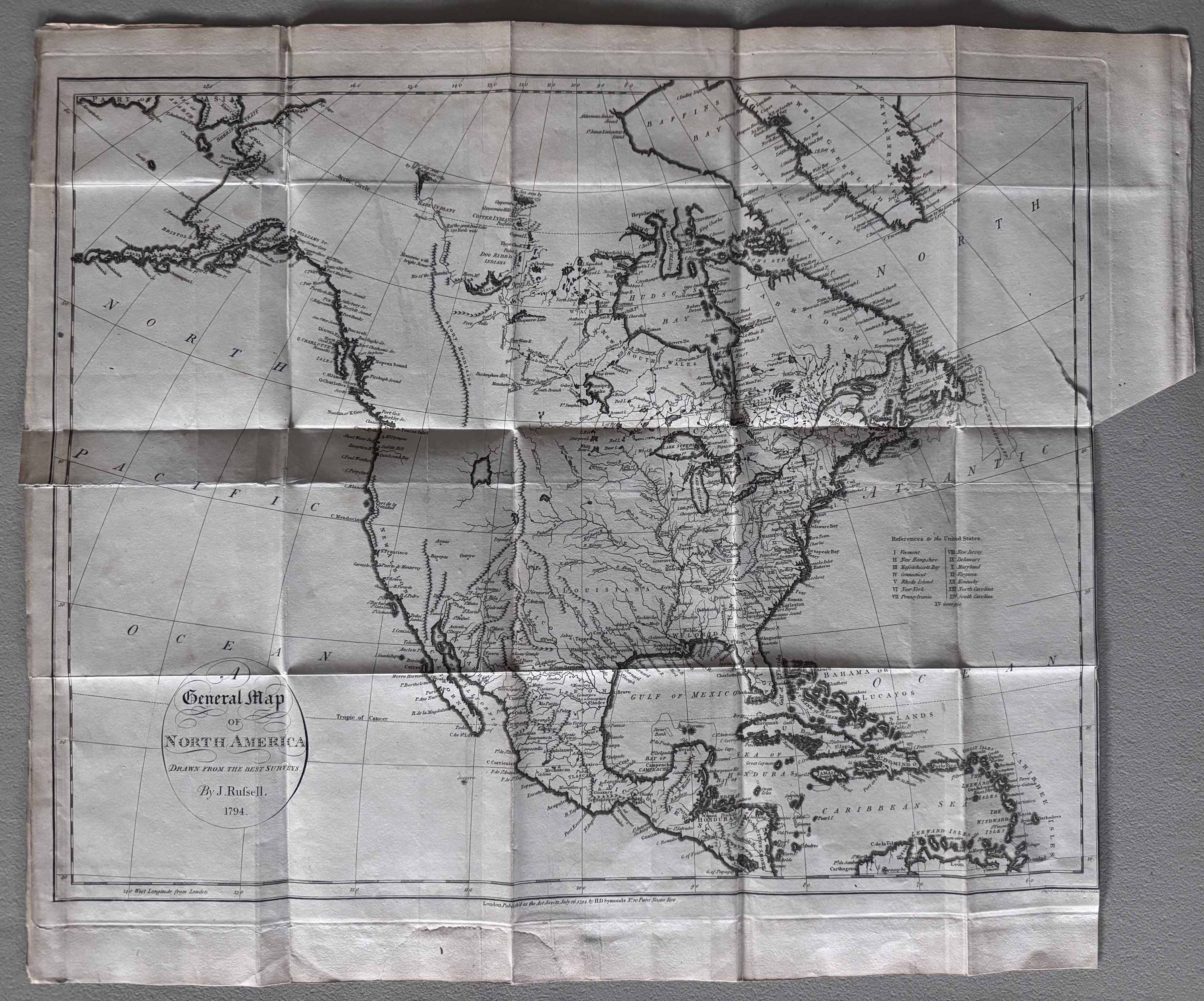
A General Map of North America Drawn from the Best Surveys
$425
Item Details
A General Map of North America Drawn from the Best Surveys printed for the author, J. Ridgway, H. D. Symonds and D. Holt, London, 1795.
Map was published in W. Winterbotham's "An Historical, Geographical, Commercial and Philosophical View of the American United States and the European Settlements in America and the West Indies". Map sheet measures 17 x 20 3/4 inches; neatline measurements are 14 5/8 x 18 1/2 inches. Previously folded. Scattered foxing. 2-inch closed tear into the Pacific Ocean along left margin. Very Good condition.
Uncolored General Map of North America Drawn from the Best Surveys as published in 1795 in Winterbotham's "An Historical, Geographical, Commercial and Philosophical View of the American United States....". Wonderful late 18th century map of the United States. Especially informative within the western portion of the map which includes a massive and unlabeled Great Salt Lake. The Canadian Rockies are the Stony Mountains, and the San Francisco Mission is noted at what is now San Francisco Bay north of Monterey.
Stellar Books & Ephemera

Andy Nettell
20 Business Park Loop #864
Carlsborg, WA, 98324
United States
Phone: 435-260-8596
Cell: 435-260-8596
Visit Website
Specialities
Ephemera, Manuscripts, Letters, OOAK

More Information
Booth 24
Shipping and Returns
All items guaranteed and returnable within 30 days for any reason. Reciprocal dealer discounts offered plus extended dating for institutions. We accept checks, credit cards, PayPal and Zelle.
Open Times
10 am to 10 pmAdditional Information
We buy collections or single items. Always looking for quality Americana.