Stellar Books & Ephemera
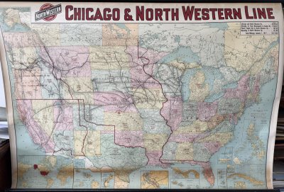
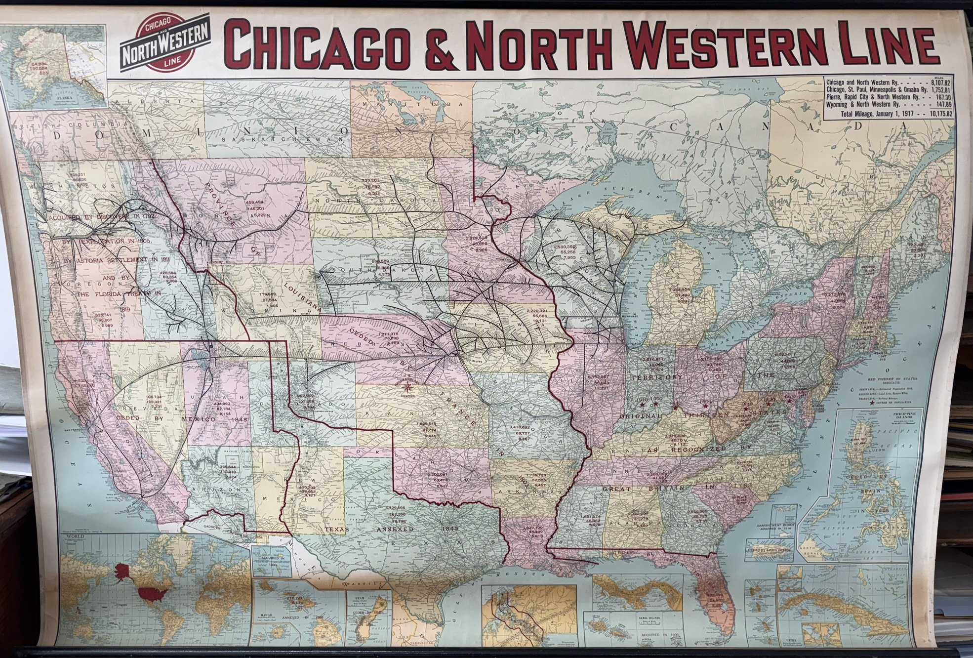
Large Hanging Map of the Chicago and North Western Railroad Line--1917
$775
Item Details
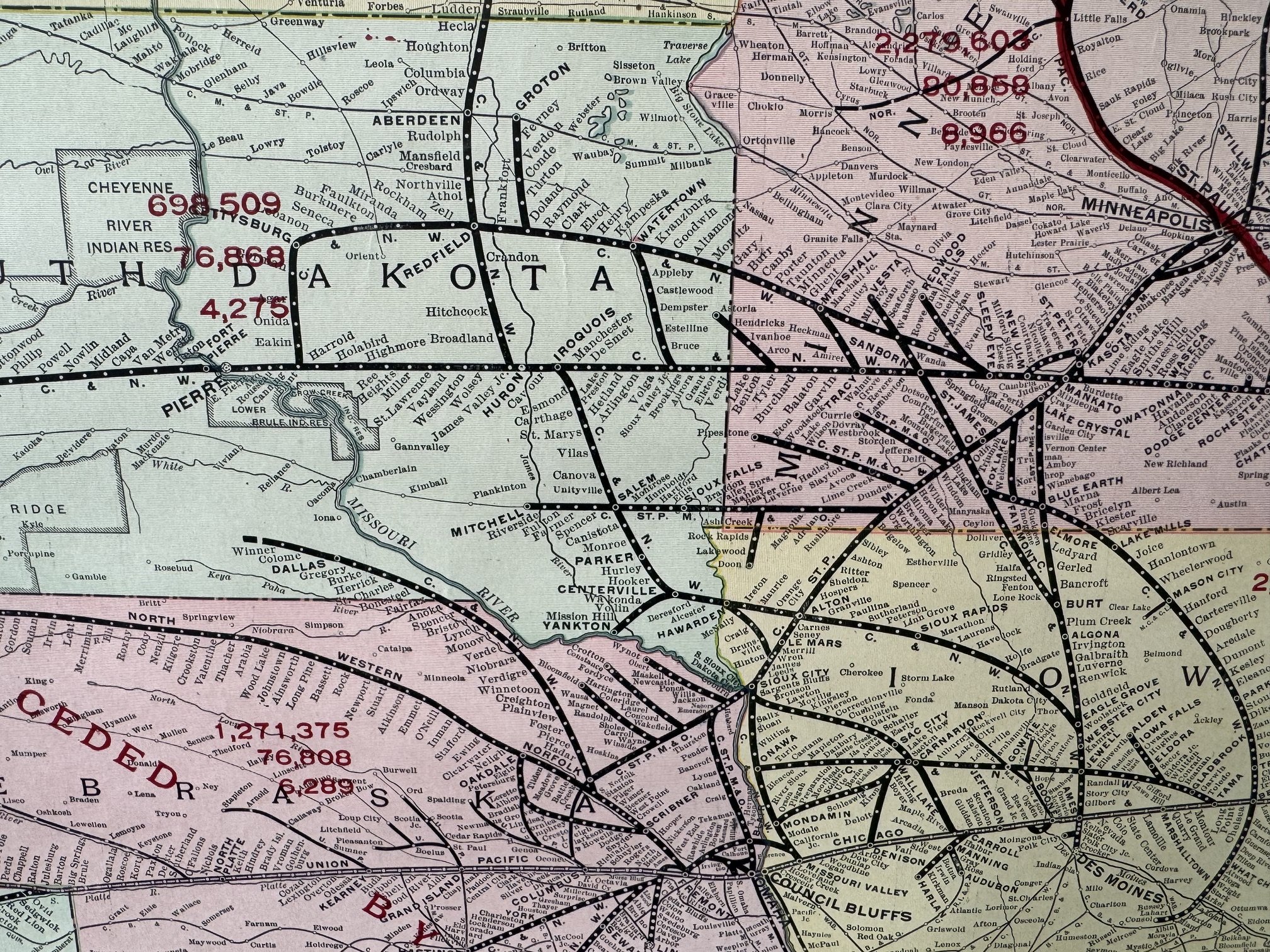
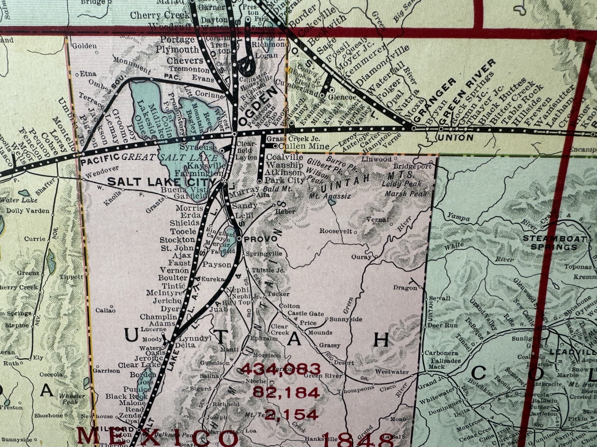
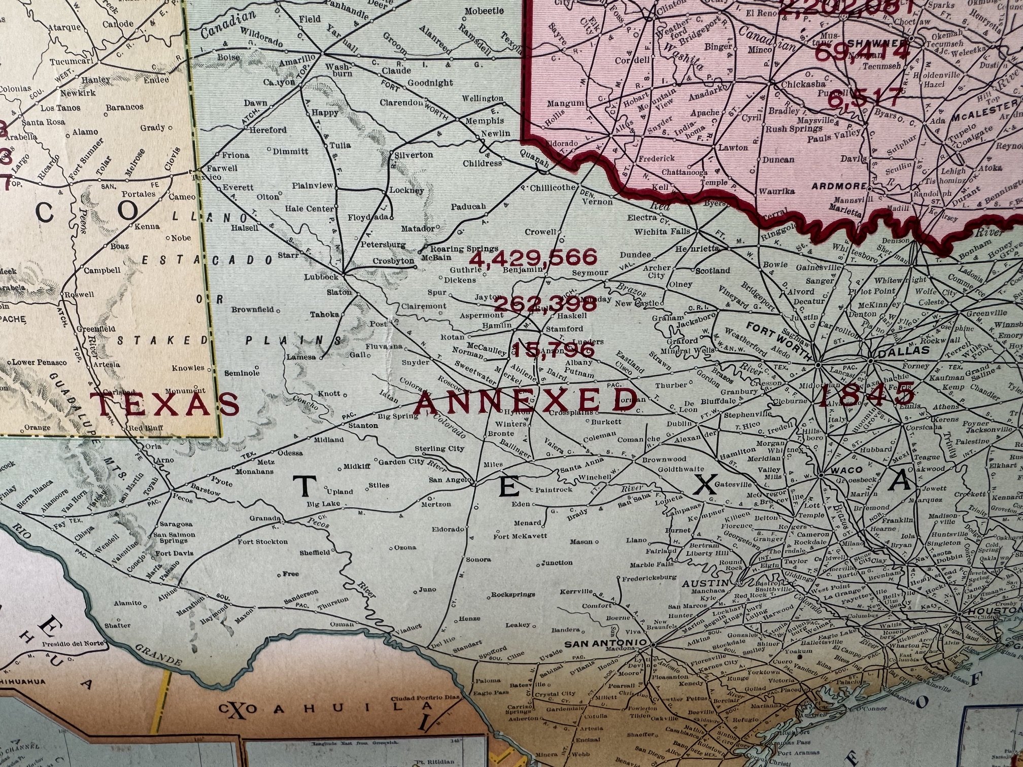
Large Hanging Map of the Chicago and North Western Railroad Line--1917, produced by Rand McNally for the Chicago and North Western Railroad, Chicago, Illinois, 1917. 56 x 38 inches.
Light toning to bottom 10% of map. Hanger and rods fully intact. Edges of map with original binding tape to prevent tears. I've not seen a nicer example of this 109-year-old map. Very good condition.
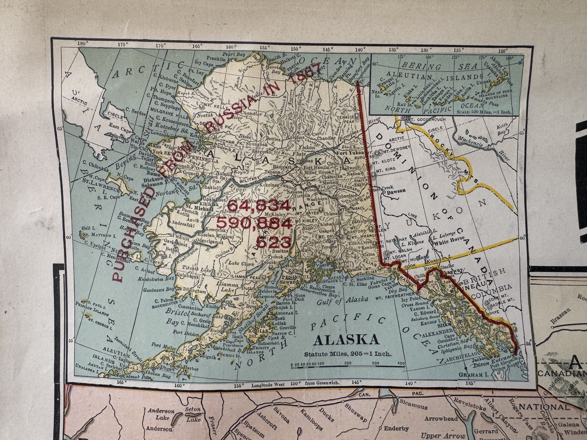
Wonderful example of a wall map for the Chicago and North Western Line published in 1917. Map displays the United States, southern Canada and a small portion of Mexico with insets featuring Alaska, the world, Hawaii and Pacific Islands, Panama, Guam, Samoa, Cuba, Puerto Rico, Philippines and the West Indies.
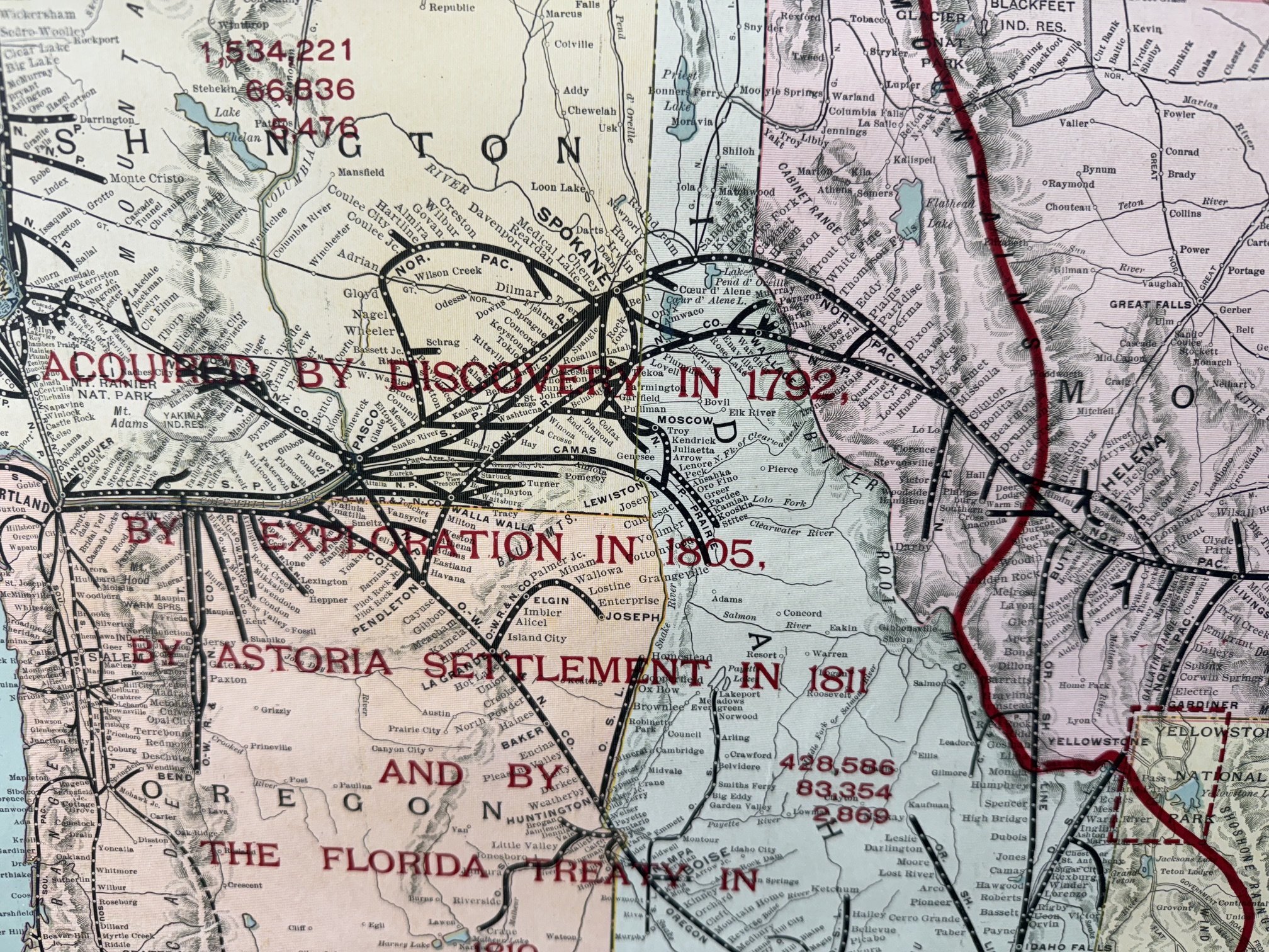
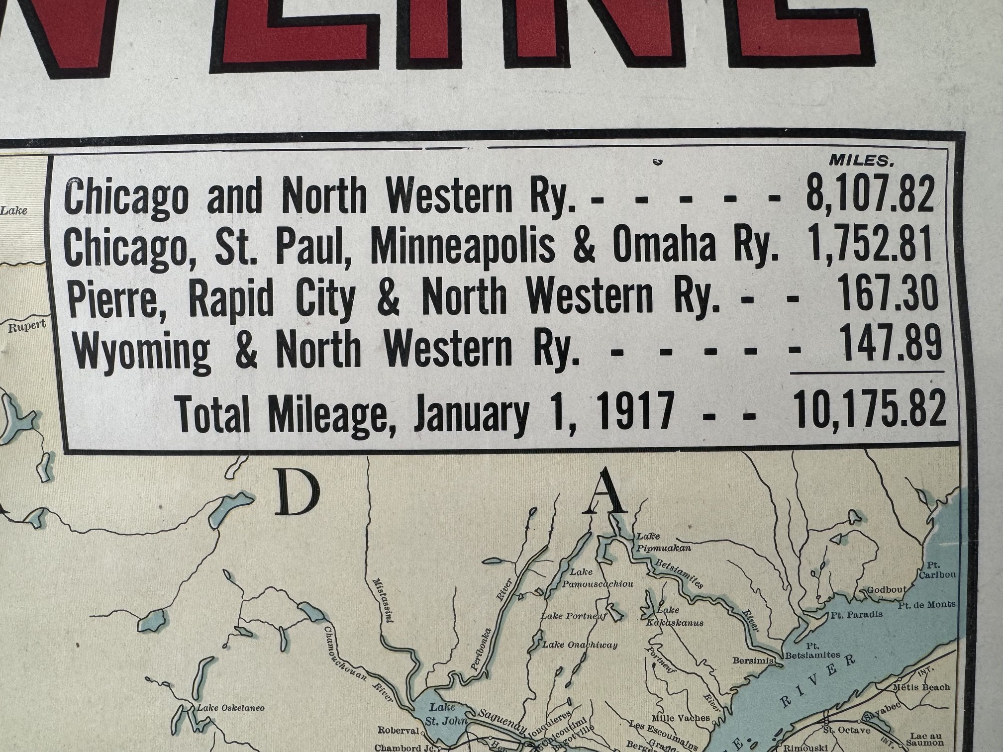
Each state shows red overprints noting 1916 population, land area in square miles and railway mileage. A chart also lists mileages for the Chicago and North Western Railroad and sister rail lines including the Chicago, St. Paul, Minneapolis & Omaha Ry., Pierre, Rapid City & North Western Ry., and Wyoming & North Western Ry. These rail lines are noted in black.
Further, the map notes when land areas were acquired by the United States via annexation or treaty.
A very pleasing map in great condition. Will ship rolled. A $15 surcharge added to shipping fees due to size.
Stellar Books & Ephemera

Andy Nettell
20 Business Park Loop #864
Carlsborg, WA, 98324
United States
Phone: 435-260-8596
Cell: 435-260-8596
Visit Website
Specialities
Ephemera, Manuscripts, Letters, OOAK
.jpg)
More Information
Booth 24
Shipping and Returns
All items guaranteed and returnable within 30 days for any reason. Reciprocal dealer discounts offered plus extended dating for institutions. We accept checks, credit cards, PayPal and Zelle.
Open Times
10 am to 10 pmAdditional Information
We buy collections or single items. Always looking for quality Americana.